


The Sea Opens Up
National Saemangeum Reclamation Museum
 Collection
>
Representative Reclamation Sites
Collection
>
Representative Reclamation Sites
![]()
 0
0
 Collection
>
Representative Reclamation Sites
Collection
>
Representative Reclamation Sites

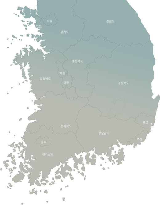

Click on each point to view information about the selected area.
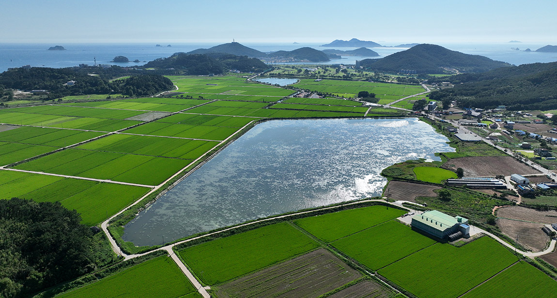
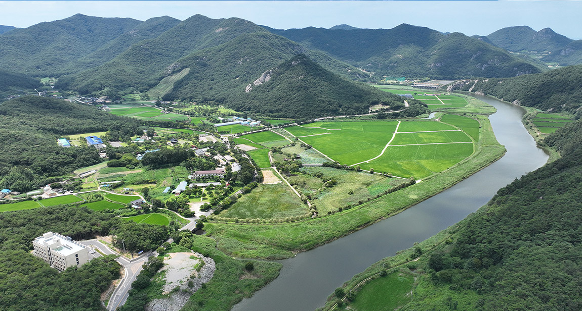
In the 13th century, the Goryeo court, having fled to Ganghwa Island, built a fortress on the eastern coast of the island and reclaimed mudflats to produce food. In the 43rd year of King Gojong (1256), the eastern coast of Ganghwa Island at Jepo (梯浦) and Wapo (瓦浦) was dammed to create Jwadunjeon (左屯田), and Ipo (貍浦) and Chopo (草浦) were dammed to create Udunjeon (右屯田). Reclamation continued into the Joseon Dynasty, with Sundupo reclamation being representative. By building dikes at Garungpo and Sundupo, they were connected to the mainland. Seokmodo Island was partially reclaimed by refugees during the Imjin War, and in 1706, a major reclamation was ordered by the government. Four islands—Songgado, Maeumdo, Eoyujeongdo, and Seokmodo—were connected into one through reclamation.
The reclamation was undertaken to provide settlement and a livelihood base for Korean War refugees and the underprivileged. With support from the Cooperative for Assistance and Relief Everywhere (CARE) and the aid of American surplus grain, construction began in 1963. In 1967, it was selected as a self-support labor project by the government, and the Korean Resettlement Development Corporation, composed of Korean War refugees, was responsible for the construction. Approximately 400,000 people were involved in the project, which was completed in 1968.
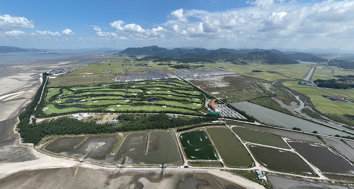
The Taean Peninsula has a complex coastline and well-developed mudflats, making it conducive to reclamation. Reclamation activities became vigorous from the mid-1920s. During the Japanese occupation, Miyoshi Wasaburo (三好和三郞) undertook a reclamation project at the northern end of the Cheonsu Bay (淺水灣) mudflats. The area covers about 520 hectares, making it the largest reclamation site in the Seosan-Taean area during the Japanese occupation period. After the liberation of Korea, reclamation of Cheonsu Bay continued, and the area is now inland. The reclamation site is located at the northern end of Seosan A District in Cheonsu Bay.
During the Japanese colonial period, this was the largest reclamation area in the Taean Peninsula led by Koreans. In the mid-1930s, Lee Pan-gwon and Lee Seong-ryeol spearheaded the reclamation projects, which included areas in Sindeok-ri and Yeongjeon-ri of Sowon-myeon, as well as Sinon-ri of Nam-myeon within the Taean Peninsula. After Korea's liberation, the reclamation area expanded westward, and the expanded reclamation land has recently been developed into a golf course.
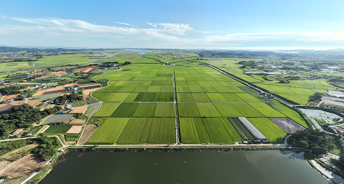
This was the first large-scale agricultural reclamation project led by a domestic private company, Hyundai Construction. It was planned with the objectives of territorial expansion and increasing food production. Approval was obtained in 1979, and construction began in 1980, culminating in the creation of 10,132 hectares of farmland in the Cheonsu Bay area by 1995. In the final stage of the dike construction, decommissioned oil tankers were sunk to block the flow of seawater and connect the embankments. The area, divided into Districts A and B, has resulted in extensive farmlands and lakes that have become a haven for migratory birds in winter.
Iksan Hwangdeung Reservoir was known as one of the three major reservoirs of Honam, alongside Byeokgol Reservoir and Nul Reservoir, during the Joseon Dynasty, and it remained until the late 1800s. In 1909, Fujii Kantaro (藤井寬太郎) established the Imik Irrigation Association and invested substantial construction costs to significantly expand the reservoir to secure a water source for agricultural use by the association. As a result, Hwangdeung Reservoir served as a water source for the Iksan, Hamyeol, and Impi regions and was heavily promoted as a success of modern irrigation projects during the Japanese occupation. However, it failed to function adequately as an agricultural water source and was converted back to farmland upon the completion of Gyeongcheon Reservoir in 1937.
During the Japanese occupation, Fujii Kantaro (藤井寬太郎), known as the "King of Water Management in Korea," reclaimed approximately 2,300 hectares between 1920 and 1934 across the current areas of Sanbuk-dong, Gaesa-dong, Singwan-dong, Okseo-myeon, and Okgu-eup in Gunsan. The primary agricultural water source for the Buriheung Enterprise Reclamation Area was the Okgu Reservoir. The reclamation areas north and south of the Okgu Reservoir boundary included the Buri-Okgu Farm and Buri Rural Village, where a colonial landlord system was operated. The reclamation area was heavily promoted as a success of colonial agriculture, cultivated by Japanese immigrant farmers and Korean farmers.
In 1925, the reclamation was carried out by Dongjin Agricultural Corporation, established by Abe Fusajiro, an entrepreneur from Osaka, Japan. The dike was completed in 1927, creating 1,785 hectares of new farmland, and partial cultivation began in 1928. Dongjin Agricultural Corporation recruited settlers to the reclaimed land to manage a large-scale rice farm. In 1928, water from the Unam Reservoir, completed by the Dongjin Irrigation Association in the upper reaches of the Seomjin River, was diverted to the upper Dongjin River for use as agricultural water.
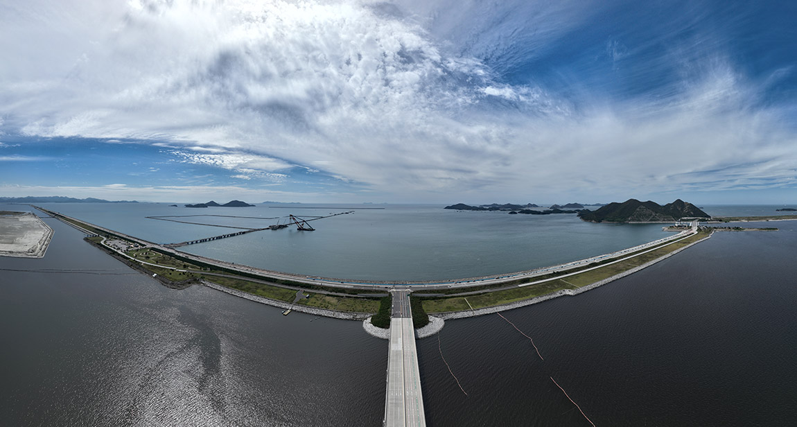
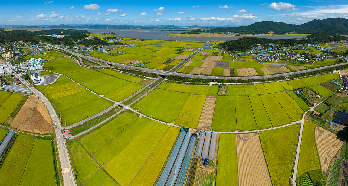
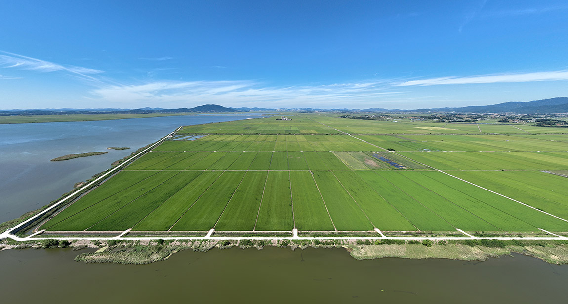
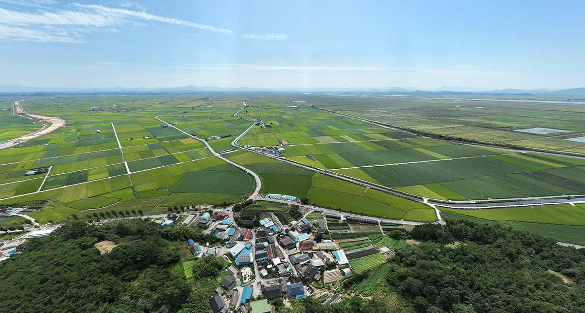
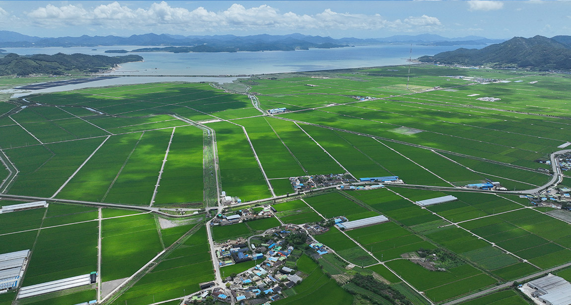
The Saemangeum Reclamation Project connects Buan County and Gunsan City with a 33.9km dike, creating 40,900 hectares of new land, making it the largest reclamation project in Korea. The project began in 1971 with the establishment of the "Okseo District Agricultural Development Plan" to address chronic food shortages. It gained momentum in December 1987 following a campaign promise by presidential candidate Roh Tae-woo, and active development began. Construction started in November 1991, and the dike connection was completed on April 27, 2010. Initially aimed at developing agricultural land, since 2021, the area has been developed into a space harmonizing clean energy, new industries, eco-friendly agriculture, tourism·ecology, and international trade.
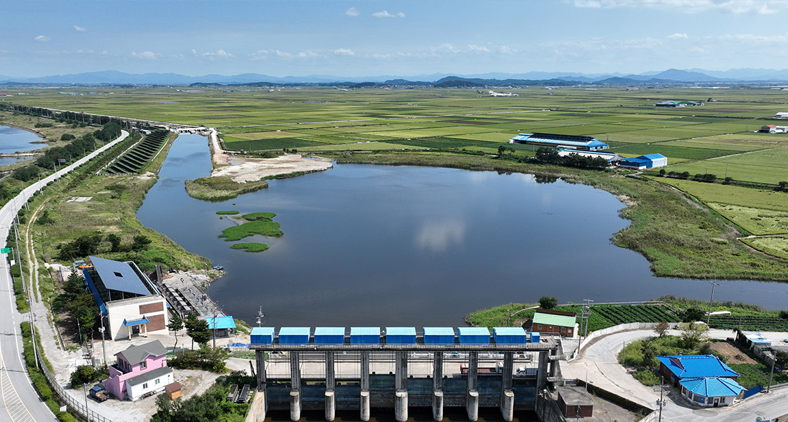
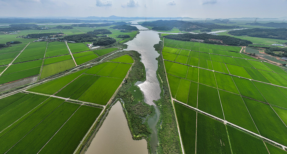
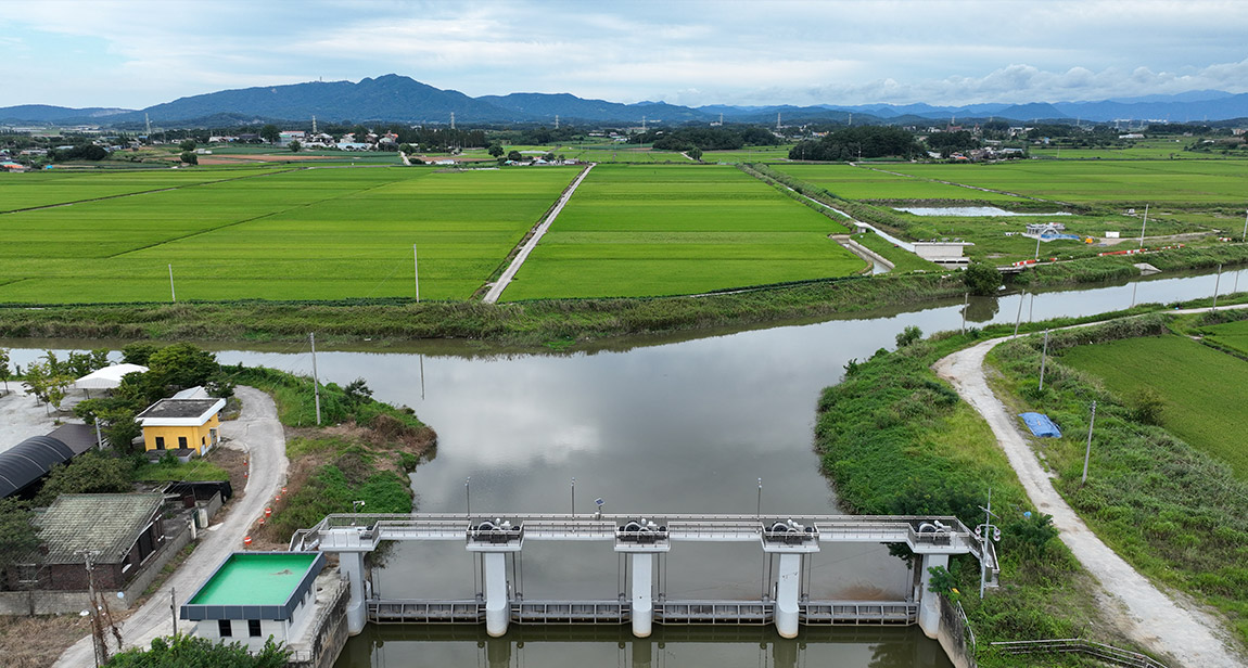
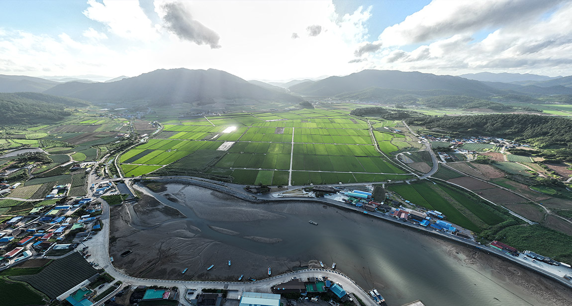
Construction began on March 15, 1963, to provide settlement for farmers displaced by the construction of the Seomjin River Dam. The purpose of the Gyehwado Reclamation Project was to secure farmland and improve the agricultural water supply in the Dongjin River basin. As a result of this project, approximately 3,000 hectares of new farmland were secured around Gyehwado Island, and irrigation and water management facilities in the Dongjin River basin were enhanced, supplying agricultural water to 7,000 hectares of farmland. The dike was completed in 1968, and the first harvest took place in 1978.
In the 1930s, a Japanese company called Haiwon Agriculture was facing difficulties in the reclamation project at Haeri, Gochang. In 1931, Samsu company, which changed its name to Samyang Company acquired the reclamation construction rights from Haiwon Agriculture in 1936 and reclaimed 2,180 hectares in the Haeri-myeon and Simwon-myeon areas of Gochang County, establishing Haeri Farm. In 1946, a part of Haeri Farm was granted permission to develop into salt fields, and construction for salt field began in 1947, starting the production of solar salt from 1949.
Jeonggwanpyeong is derived from the reign title "Zhenguan" of Emperor Taizong of the Tang Dynasty, symbolizing the construction of a peaceful and blissful paradise on Earth. Park Jung-bin, the founder of Won Buddhism, along with eight followers, reclaimed around 30,000 pyeong of farmland by filling in the mudflats of Gilryong-ri, Baeksu-myeon, Yeonggwang County in 1918. In 1958, Won Buddhism further reclaimed an additional 27,000 pyeong outside the first reclamation area. Near the Jeonggwanpyeong reclamation site, the Won Buddhism Yeongsan Holy Site was established.
In 1924, the brothers Kim Yeon-soo and Kim Seong-soo founded Samsu Company (changed to Samyang Company in 1931) and managed farms in Jangseong, Buan, Gochang, and Jeongeup. During this process, they acquired a reclamation area between Upo-ri in Buan's Julpo-myeon and Sindeok-ri in Gochang's Heungdeok-myeon, creating 24 hectares of paddy fields. In Sonbul-myeon, Hampyeong County, reclamation began in 1931, was completed in 1933, and resulted in the creation of 390 hectares of farmland.
In May 1930, the Japanese were granted permission to reclaim land. Covering an area of 2,070 hectares, it was the largest single reclamation site during the Japanese occupation. In 1936, a Japanese company, Boseong Heungup Corporation, acquired the rights to the project. Boseong Heungup, a major corporation with a capital of 5 million won, primarily focused on agricultural management and power generation, and constructed a dam on the Boseong River to secure irrigation water for the reclaimed land and produce electricity. This reclamation site was acquired in 1943 by Ashima Agriculture Corporation, an affiliate of Oriental Development Company.
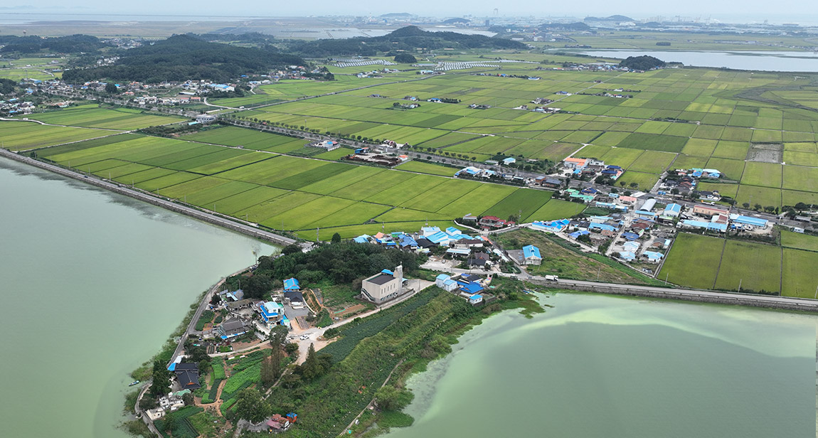
The Haenam Yoon family, a lineage that has lived for generations in the southwestern coastal regions of Haenam and Muan in South Jeolla Province, has continuously expanded their land ownership through reclamation since the mid-Joseon Dynasty. In Gulpo-ri, Imhoe-myeon, Jindo County, the 380-meter-long Yoon Gosan Dike remains, and it is reported that Yoon Seon-do mobilized local residents to reclaim 200 hectares of land. The Baekyaji in Baekpo-ri, Hyunsan-myeon, Haenam County was reclaimed over the 16th to 18th centuries, making it the largest reclamation area owned by the Haenam Yoon family.


29-7 Saemangeum-ro, Byunsan-myeon, Buan-gun, Jeonbuk-do 56343
TEL : 1551-5060 FAX : 063-581-9890~1
eMail : webmaster@nsrm.or.kr
Copyright 2024 National Saemangeum Reclamation Museum. All rights reserved.


