


The Sea Opens Up
National Saemangeum Reclamation Museum
 Exhibition
>
Permanent Exhibition
Exhibition
>
Permanent Exhibition
![]()
 0
0
 Exhibition
>
Permanent Exhibition
Exhibition
>
Permanent Exhibition

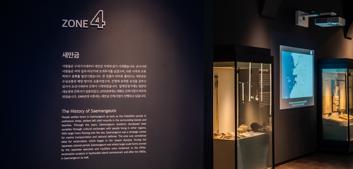
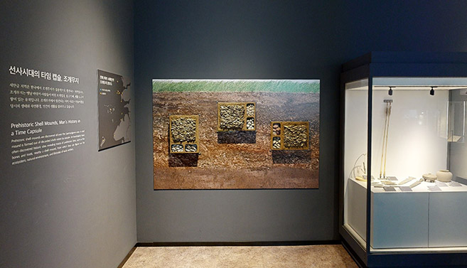
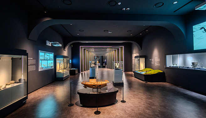
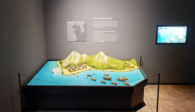
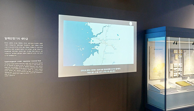
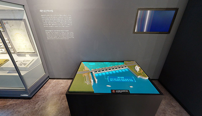
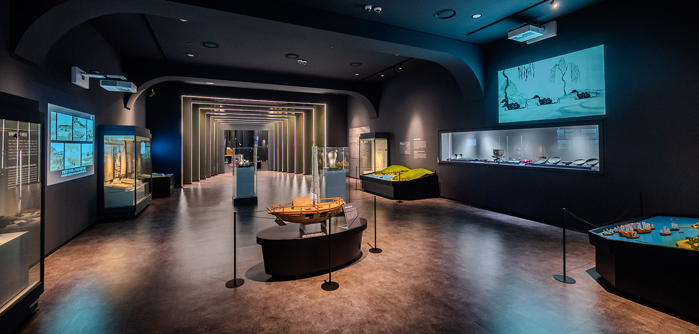
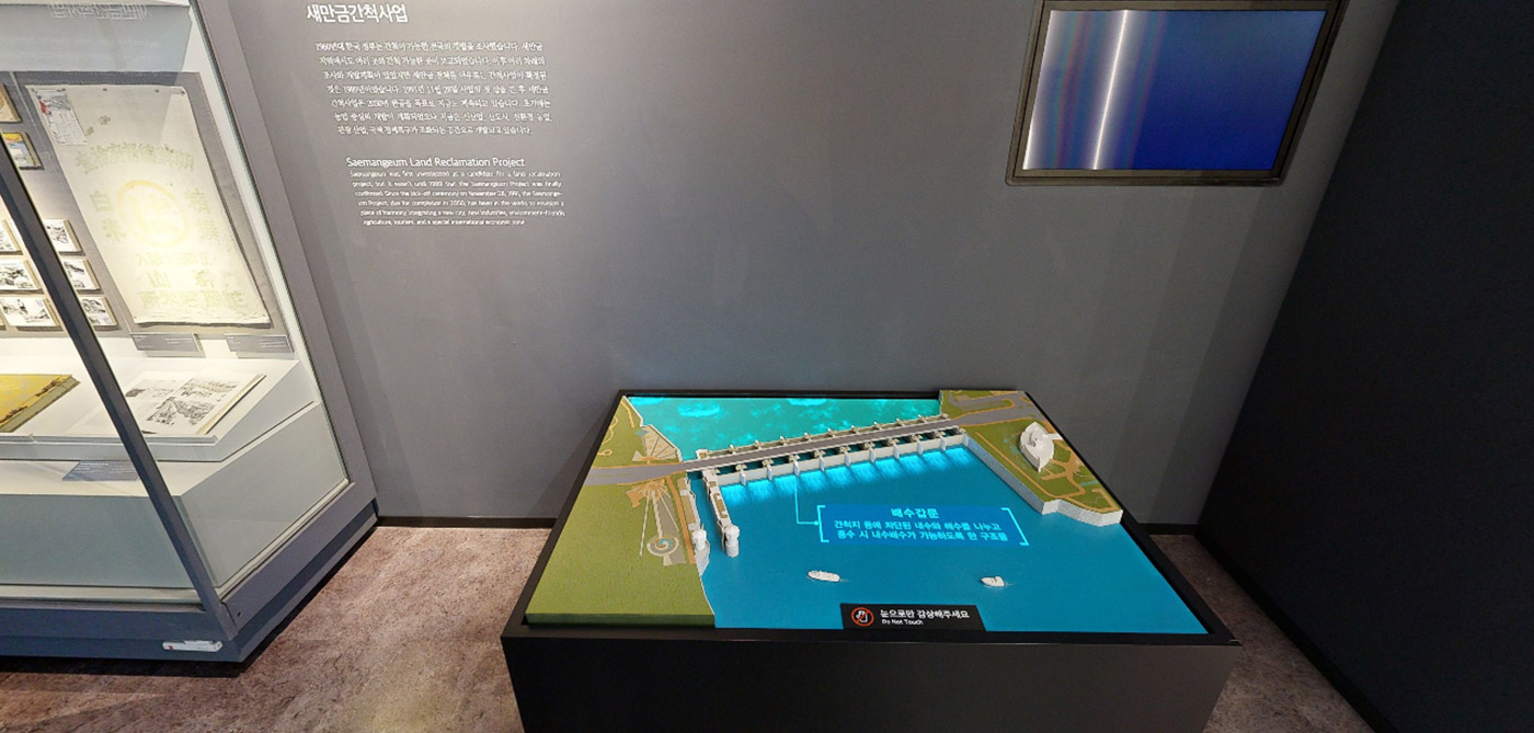
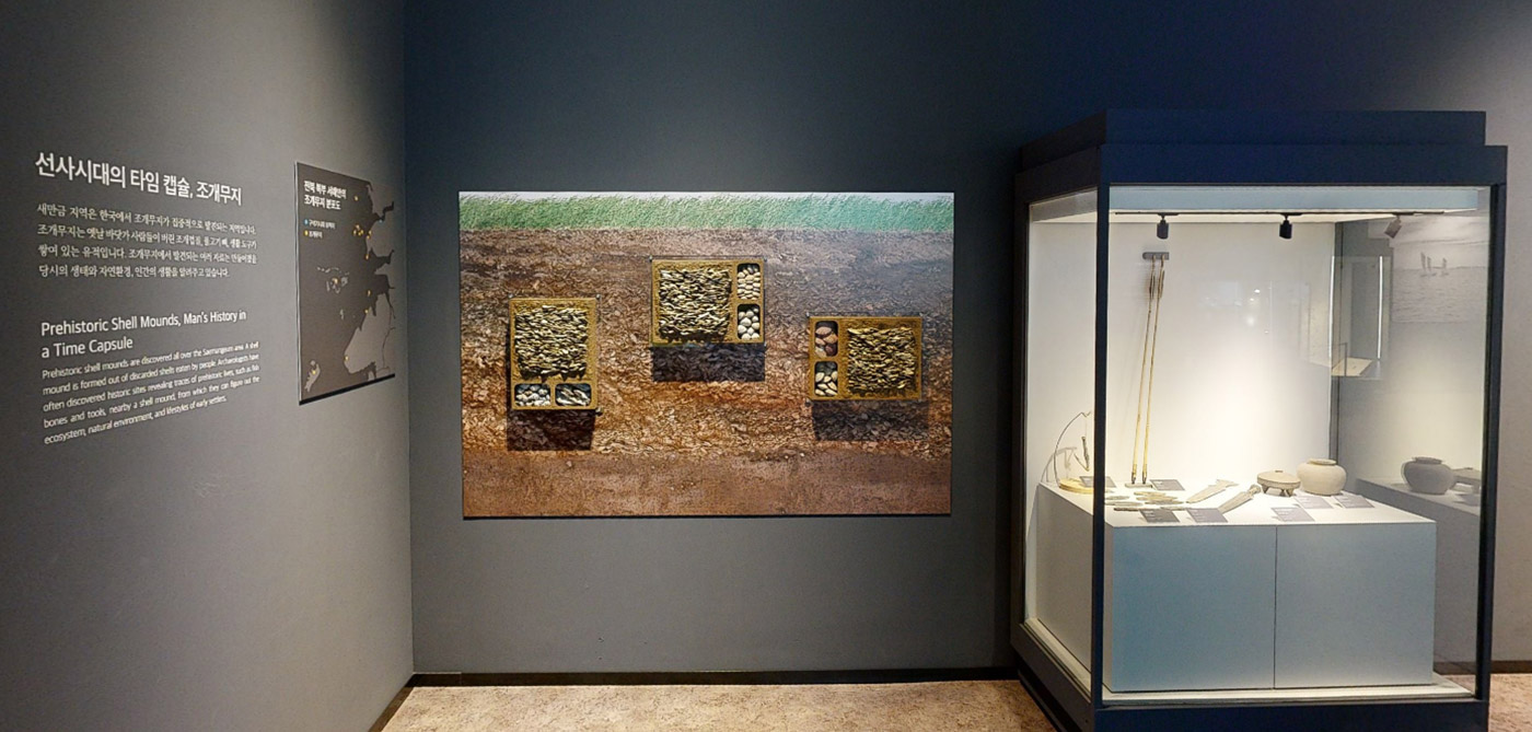
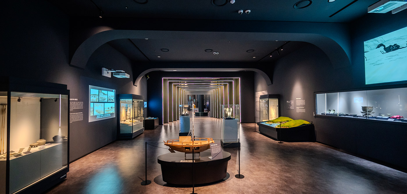
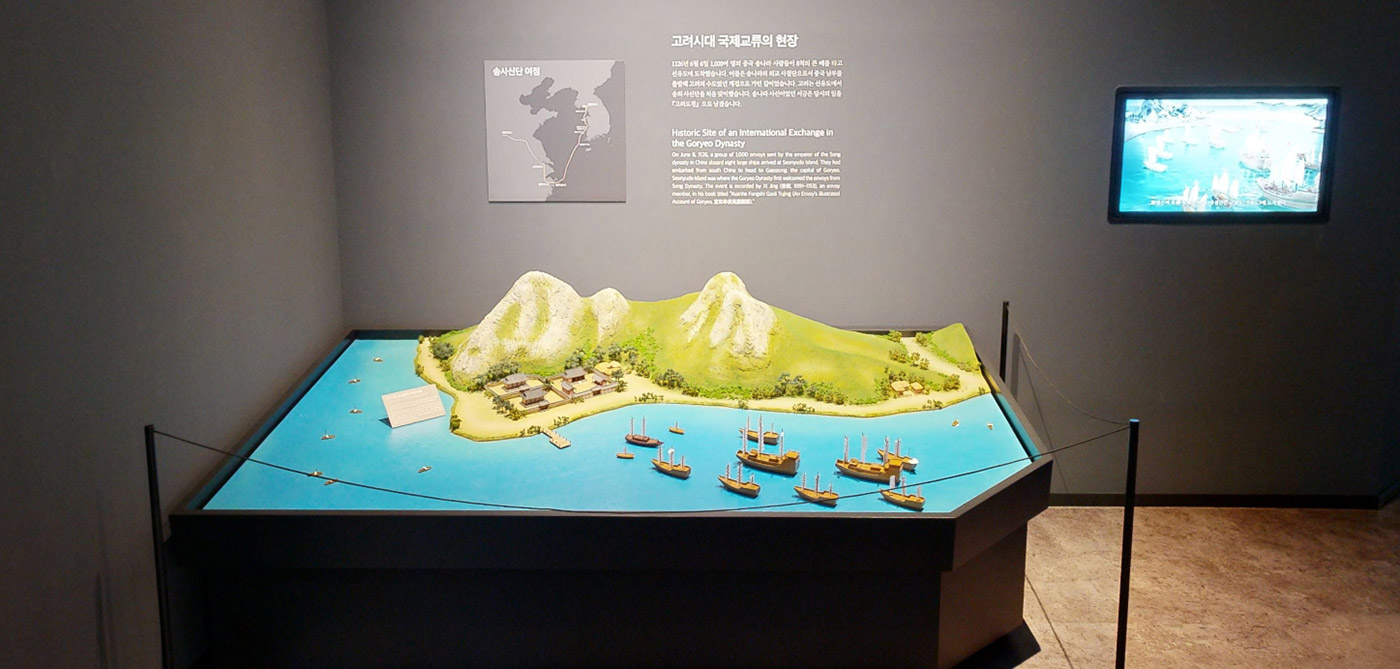
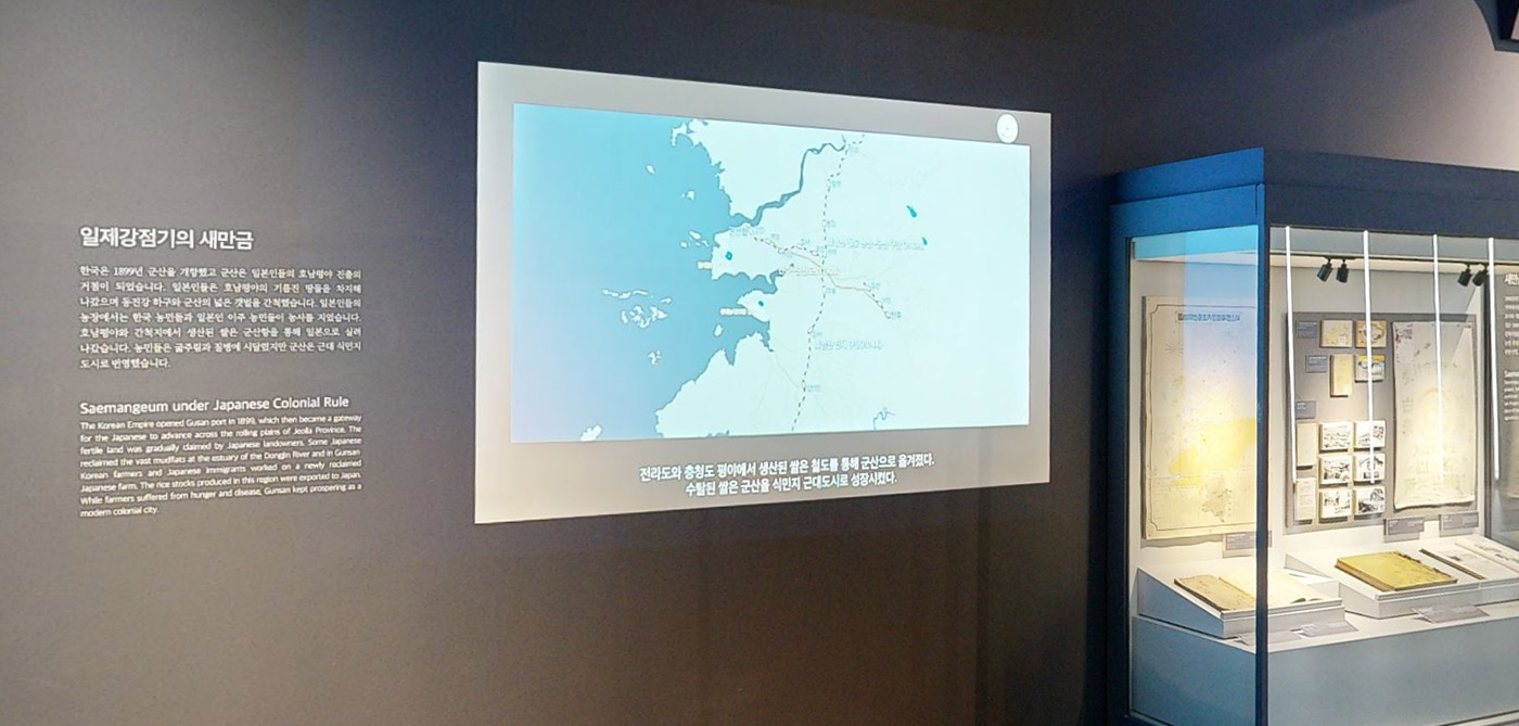
Saemangeum, home to Korea's largest reclamation project and the world’s longest seawall. The Saemangeum Room explores the historical significance of the Saemangeum area, reflecting on its ancient and modern implications. From the remnants of prehistoric life to evidence of maritime exchanges and its role as a strategic maritime hub, the room investigates the history of exploitation during the Japanese occupation period. It allows visitors to trace the developments leading up to the current Saemangeum reclamation project

Exhibition Space Guide
SCROLL
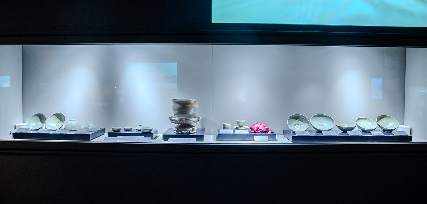
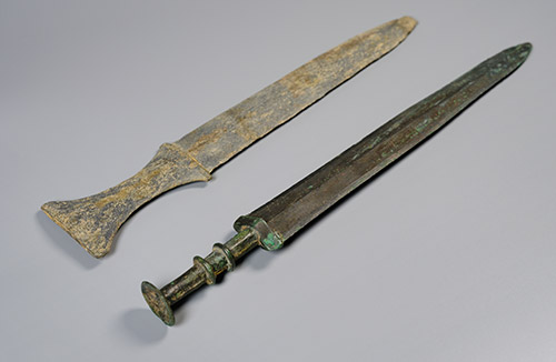
Korea, Bronze Age
Wonkwang University Museum
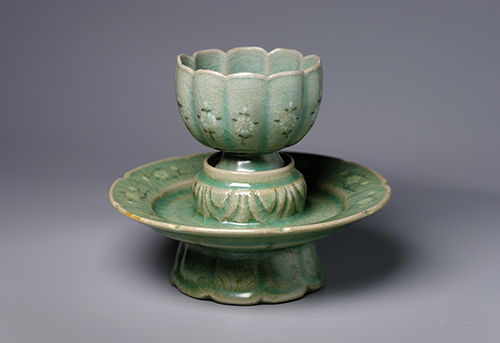
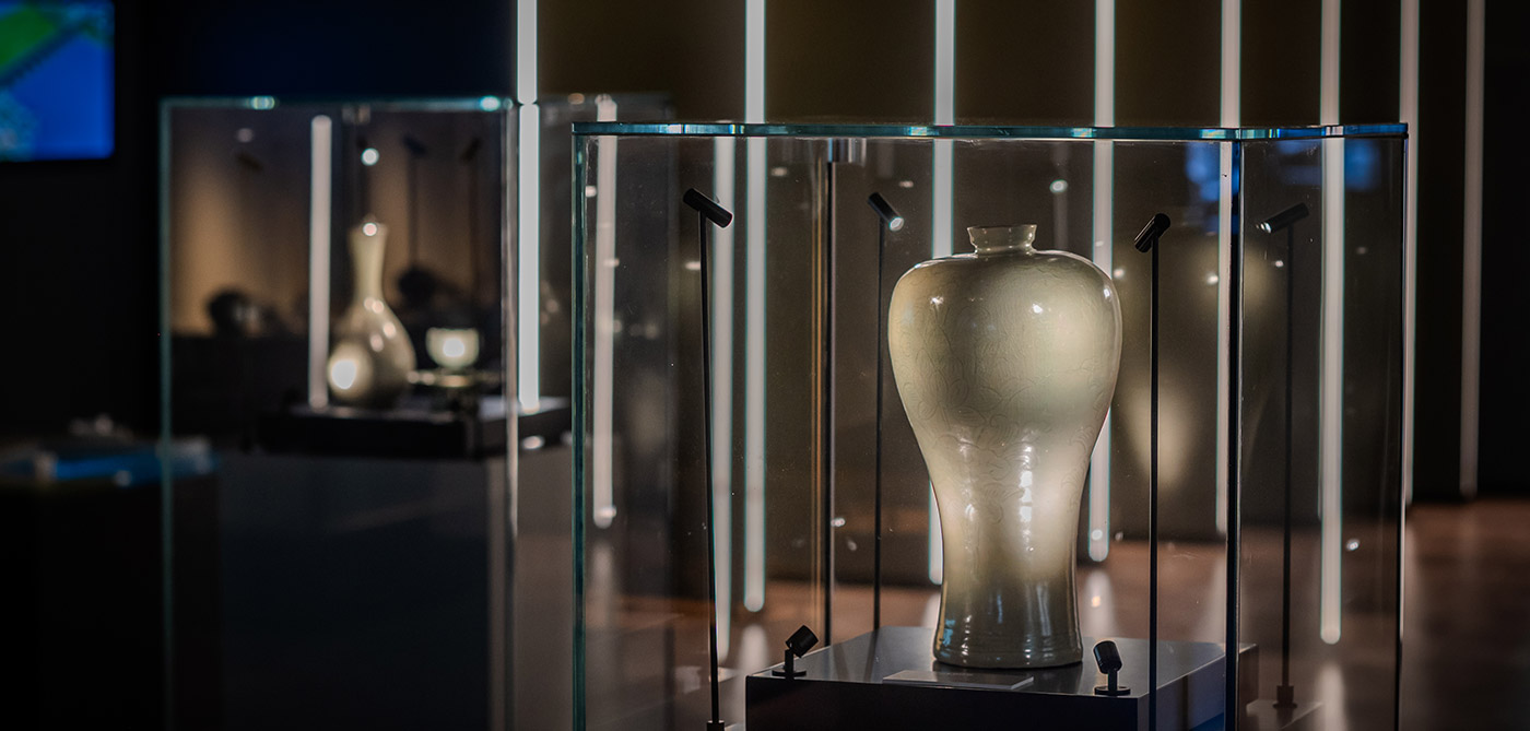
Korea, Goryeo Dynasty
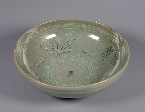
Korea, Goryeo Dynasty
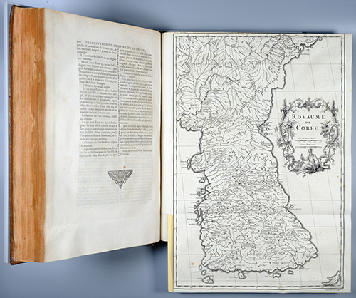
France, 1735
Jean Baptiste Du Halde
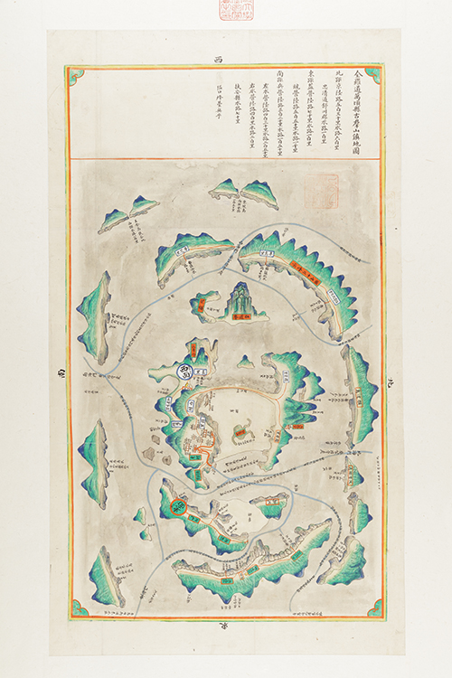
Korea, Joseon Dynasty, 1872
Korea, Joseon Dynasty, 1872
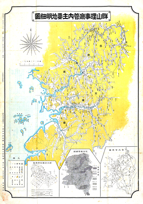
Korea, Korean Empire, 1908
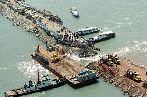
Korea, 2006
Korea Rural Community Corporation
Korea, Bronze Age
Wonkwang University Museum
Korea, Goryeo Dynasty
Korea, Goryeo Dynasty
France, 1735
Jean Baptiste Du Halde
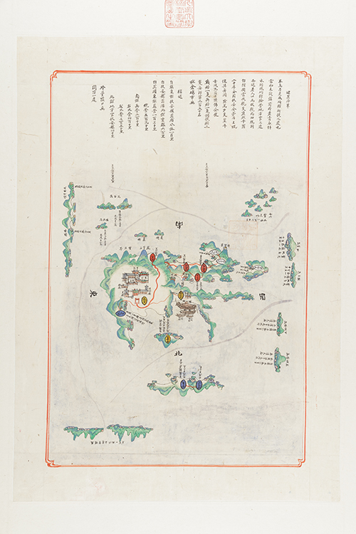
Korea, Joseon Dynasty, 1872
Korea, Joseon Dynasty, 1872
Korea, Korean Empire, 1908
Korea, 2006
Korea Rural Community Corporation

좌우로 스크롤해서 내용을 볼 수 있습니다.
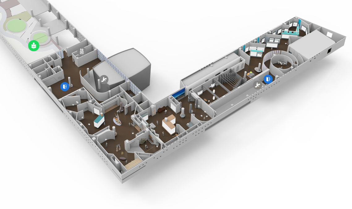

Click on each point to view information about the selected area.


29-7 Saemangeum-ro, Byunsan-myeon, Buan-gun, Jeonbuk-do 56343
TEL : 1551-5060 FAX : 063-581-9890~1
eMail : webmaster@nsrm.or.kr
Copyright 2024 National Saemangeum Reclamation Museum. All rights reserved.


